


The deployment of two U.S. geospatial analysts to Morocco to participate in a joint military exercise was the latest step in the National Geospatial-Intelligence Agency’s effort to carve an official role for its analysts in military operations.
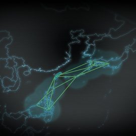
Working from a converted classroom, the analysts used satellite imagery, local maps and other data to craft detailed, customized maps for military units participating in the 8th annual African Lion joint exercise, which concluded April 16. Africa Command wrote geospatial intelligence support into the official “exercise order” defining how the 2012 African Lion exercise would play out. That was the command’s way of saying geospatial intelligence, or GEOINT, “does play an important role to the overall success of a mission, and they have specifically defined a role for GEOINT in the exercise,” said Jacqueline Snyder, a member of African Command’s NGA Support Team.
The exercise gave geospatial analysts first-hand experience with numerous challenges, from limited electricity to security issues and the difficulty of working with partners from varied cultural backgrounds who speak different languages.
In one case, the analysts created a map that allowed a convoy team to spot a bridge with a 30-ton limit that would not support the convoy’s 70-ton Abrams tank. The troops were able to plan an alternate route. The analysts also created maps pinpointing details down to local streets and the entryways of buildings, the Defense Department said in a statement.
The African Lion exercise this year included 800 Marines, 400 Army Reservists and 900 Moroccan military personnel. The two analysts traveled to Morocco from Stuttgart Germany.
NGA plans to get involved in future exercises as well. The agency is already looking ahead to the next African Lion exercise, where analysts will again assist troops. The analysts’ “role will be similar, except we anticipate participation from the German geospatial agency,” spokesman Muridith Winder said.
Mark Gunzinger, a senior fellow at the Center for Strategic and Budgetary Assessments, said embedding analysts makes good sense. The military “has poured millions of dollars into collecting better intelligence. ... Why would you not want to expand your database of coordinates and information?”